


Image 8-1
The Blue Marble
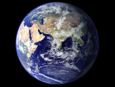
This spectacular “blue marble” image is the most detailed true-color image of the entire Earth to date. Using a collection of satellite-based observations, scientists and visualizers stitched together months of observations of the land surface, oceans, sea ice, and clouds into a seamless, true-color mosaic of every square kilometer (.386 square mile) of our planet. Much of the information contained in this image came from a single source, NASA’s MODIS satellite, flying over 700 km above the Earth onboard the Terra satellite.
NASA Goddard Space Flight Center
Solar System | Faces of Mars | Visions of Jupiter | Sights of Saturn
Best of Hubble #1 | Best of Hubble #2 | Spitzer Spectacles | Above the Earth